

The Geomatics Engineering Study Program at the Faculty of Engineering, Universitas Indo Global Mandiri (UIGM), held the 8th installment of the Geomatics Discussion (BEO) Series in the Theater Room on the 5th floor of Building C on the UIGM campus on Tuesday, September 22, 2026.
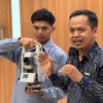
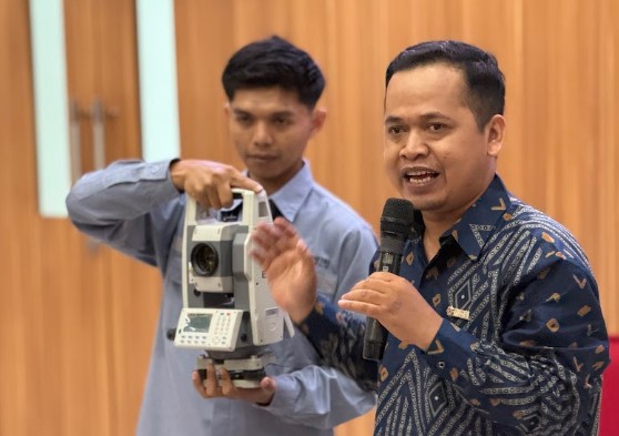
Yusuf Supriadi, Regional Manager of PT Geometri Sumatera, said that this training was organized to provide students with hands-on technical knowledge regarding the operation of high-tech digital measuring instruments.
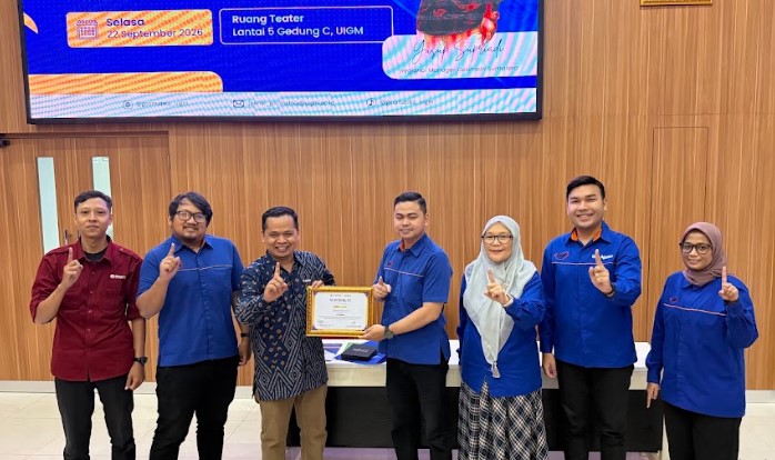
Through these presentations and simulations, participants were guided to understand the workflow of precision land surveying, from calibration procedures to the processing of spatial data in the field.
“Hands-on mastery of modern mapping instruments is the cornerstone of preparing aspiring surveyors to meet the rigorous standards of the geospatial industry,” said Yusuf.
During the event, Yusuf also explained the use of advanced mapping equipment to the dozens of students in attendance. Participants were taught techniques for accurately determining coordinates and how to minimize potential deviations when taking measurements in open terrain.
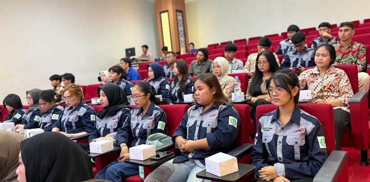
The involvement of practitioners from PT Geometri Sumatera was designed to ensure that students not only understand academic theory but are also able to apply the standard operating procedures used in the professional workplace. The two-way discussions that took place during the simulation helped participants understand the real-world challenges frequently faced by mapping teams in the field.
“A deep understanding of the characteristics and accuracy of digital instruments will prevent practitioners from making critical errors in spatial data analysis,” concluded Yusuf. (andhiko ta)