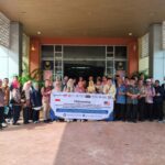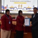


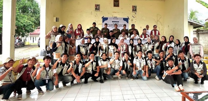
The Community Service Program (KKN) for students of the Regional and Urban Planning Study Program (PWK) at Indo Global Mandiri University (UIGM) in Tanah Abang District, Penukal Abab Lematang Ilir (PALI) Regency has been completed.
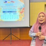
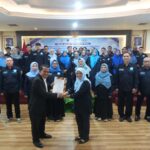
After a full month of service in three villages—Tanah Abang Utara, Tanah Abang Selatan, and Tanah Abang Jaya—the students left behind an important legacy in the form of digitized village maps and profiles. The farewell and reception ceremony, held on August 20, 2025, at the Tanah Abang Subdistrict Hall, marked the completion of the implementation of the Tri Dharma Perguruan Tinggi (Three Pillars of Higher Education), which focuses on strengthening the capacity of village governments.
The Head of the PWK UIGM Study Program, Dr. Ir. H. Endy Agustian, S.T., M.Eng, expressed his pride in his students’ achievements. He emphasized that KKN is more than just an academic program; it is a meaningful journey of life learning.
“Today, we are not only closing a program, but also opening a new awareness. That the knowledge learned in the classroom will find its true meaning when it is applied in the community, touching lives and providing benefits,” he said.

Dr. Endy emphasized that KKN is a space for students to learn about humility and empathy. They are not only required to master theory, but also to understand the aspirations of the community and come up with simple solutions. “I want UIGM PWK students to realize that planning is not just about drawing maps or designing spaces. Planning is about weaving hopes, building trust, and laying the foundations for sustainability,” he said.
“This output is not just a document or a drawing on paper. It is the foundation of planning, a reference for development, and a road map to the future of Tanah Abang. With accurate data, villages have the power to plan for sustainable development that is targeted and oriented towards the needs of the community.

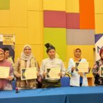
Meanwhile, the District Head of Tanah Abang, H. Dermawan, S.H., assessed that the outputs produced by UIGM students, such as district and village boundary maps and village profiles, are important assets for development planning. These outputs are highly relevant to the local government’s efforts to promote sustainable village development, especially in the current digital era. (andhiko ta)