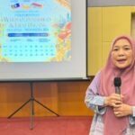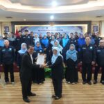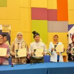


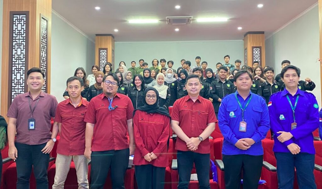
Indo Global Mandiri University (IGM) initiated an educational activity through the Geomatics Discussion (BEO) Series #5 on Thursday (10/30).
This discussion raised a crucial topic, “The Use of Spatial Data in Mining Area Monitoring,” which is relevant to industry developments and sustainability issues.
BEO Series #5 not only enriched the participants’ knowledge, but also fully supported the achievement of the Sustainable Development Goals (SDGs), particularly in terms of energy sustainability, industry, innovation, and infrastructure. By discussing the use of spatial data technology, this activity contributed to efforts to manage natural resources more efficiently and responsibly.
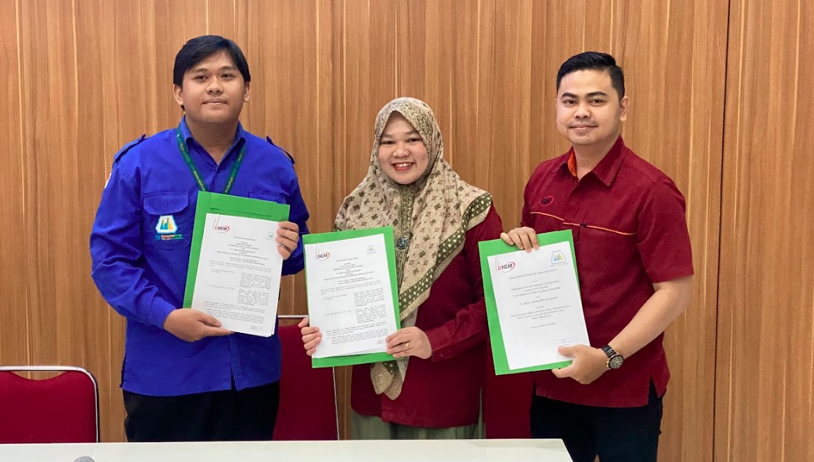
In BEO Series #5, UIGM presented an expert speaker, M. Fariz Alkoiri, S.T., a GIS Specialist and Surveyor from PT Bima Shabartum. M. Fariz Alkoiri shared his knowledge and experience regarding the application of spatial data, such as Geographic Information System (GIS), in conducting accurate and effective monitoring in mining areas. The material presented covered data collection techniques, spatial analysis, and data interpretation for decision making.
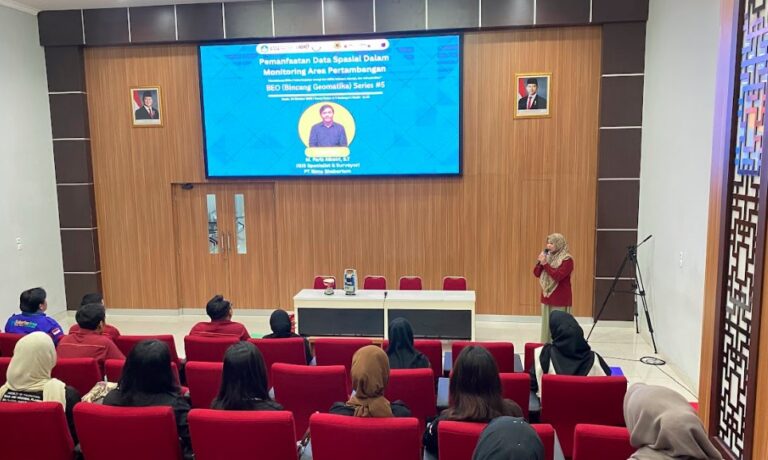
The Dean of Engineering at IGM University, Dr. Eng. Utari Sriwijaya Minaka, S.T., M.Eng, appreciated this discussion. She emphasized the importance of understanding geomatics technology in the modern era, especially for engineering students.
“The BEO Series #5 event is very important to enrich the knowledge of our students. The use of spatial data is key to efficient and sustainable mining monitoring,” he said.
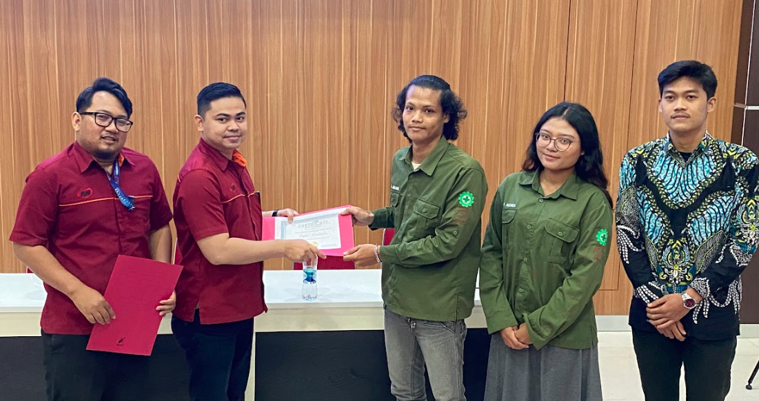
He hopes that activities like this can continue to be held to deepen the understanding of students and academics regarding the latest technology. “Collaboration with industry practitioners like this is invaluable in ensuring that the knowledge we teach is relevant to the needs in the field,” he concluded. (andhiko ta)